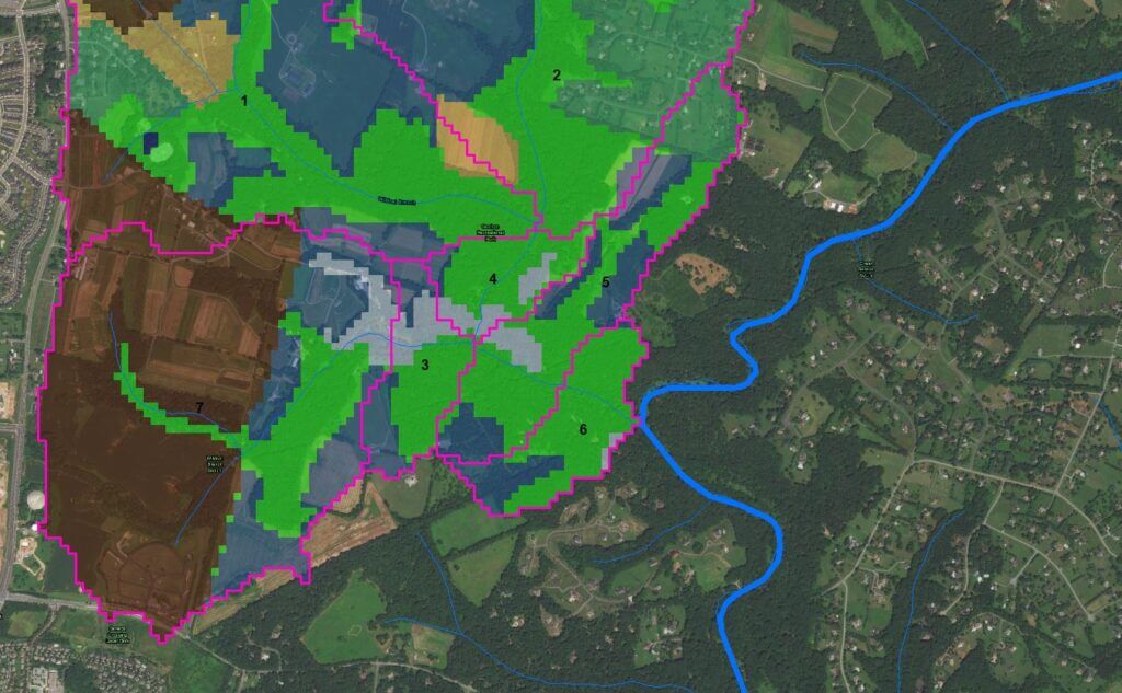
WRMA specializes in ArcGIS database development for water and sewer infrastructure and GIS based water resources modeling. WRMA’s GIS development team can build custom GIS based solutions for private or municipal water utilities and provide water resources engineering services including hydrologic & hydraulic modeling, environmental assessment, and asset mapping.
ArcGIS is a user-friendly geographic information system software platform developed by the Environmental Systems Research Institute (ESRI) which is utilized by businesses, government agencies and public/private water utilities to keep track of valuable assets located across wide spatial areas.
The ability to spatially locate and analyze water and sewer assets in real time provides engineers a better understanding of the status and condition of a water or sewer system. The ArcGIS platform has thousands of built-in functions to spatially analyze assets and spatial attributes, to help decision makers make informed decisions about how to invest, maintain and manage capital infrastructure.
GIS databases can be continually updated as new infrastructure is built and as existing infrastructure is maintained. WRMA’s engineering team has assisted public utilities in the design and implementation of GIS based data management systems and can provide reliable service throughout the lifetime of the system such as providing periodic system updates, to creating user-specified custom-built modules to perform specific data analysis and management functions.

